Mount Rainier National Park Map
Home Page > Washington State Maps > Washington State National Parks > Mount Rainier National Park Map
Mount Rainier Hazard map (Lahar Lava Flow map)
Mount Rainier National Park Map - Washington State
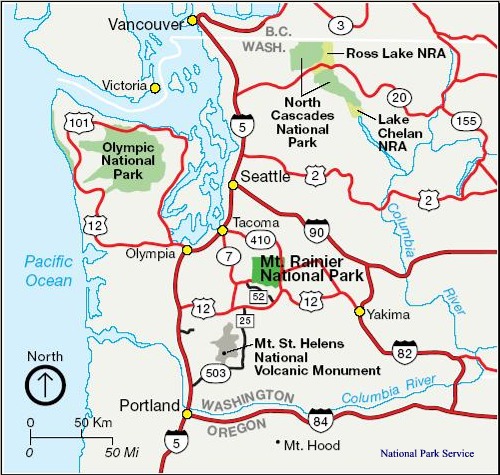
from the National Park Service

Mount Rainier National Park
Established in 1899. 235,625 acres (97% is designated Wilderness). Includes Mount Rainier (14,410'), an active volcano encased in over 35 square miles of snow and ice. The park contains outstanding examples of old-growth forests and subalpine meadows.
Designated a National Historic Landmark District in 1997 as a showcase for the "NPS Rustic" style architecture of the 1920s and 1930s.
Whether hiking on its flanks, climbing its summit, snowshoeing or cross-country skiing on its slopes, camping along its glacier-fed rivers, photographing wildflower displays in subalpine meadows, or just admiring the view, nearly two million people come to enjoy the grandeur and beauty of Mount Rainier each year.