A large detailed map of New York State
This is a large, detailed map of New York. There are links to many New York localities below. Our website format reduces the display size for uniformity. Here is a link to the full-size image that is more easily readable.
View our New York State county map
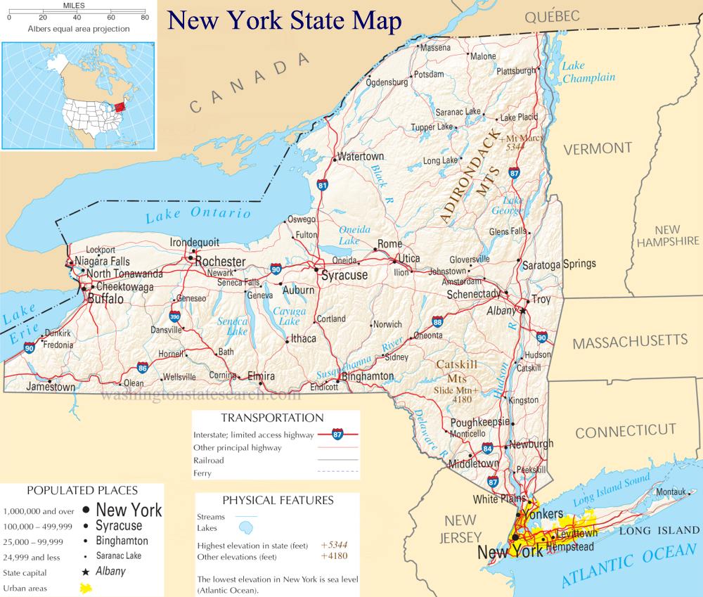
from the National Atlas of the United States
United States Department of the Interior
New York State Map
Explore New York with an interactive map featuring Street View, satellite and terrain views. Live weather, local news and location details for New York — plus links to detailed street maps for 1,981 cities and towns across the state.
Map search is available for a limited number of queries per session to manage costs. Be specific — search precisely for best results.
| State | New York (NY) |
| Capital | Albany |
| Largest City | New York City |
| Country | United States |
| Latitude | 42.165726 |
| Longitude | -74.948051 |
| Population | 20,201,249 |
| Cities & Towns | 1,981 |
New York stretches from the salt-sprayed Atlantic shelf across the serrated granite spines of the Adirondacks to the mist-heavy precipice of the western falls. The landscape operates through a series of dramatic contrasts: the downstate littoral zone, where islands of sand and clay break the surf, gives way to the deep, glacial gouges of the central lakes, where water stays liquid long into the biting winter. High, jagged peaks catch the first light of dawn, casting long, bruised shadows over the deep-wooded valleys below. In the autumn, the air grows thin and sharp, carrying the scent of drying leaves and woodsmoke, a clarity that makes the vast, silent stretches of the northern forests feel as though they are holding their breath against the coming frost.
Indigenous nations of the Haudenosaunee and the Lenape shaped the early geography of the region, establishing complex networks of trade and governance long before the arrival of European vessels. The state later became a volatile theater for imperial ambitions, its river corridors serving as the primary arteries for movement and conflict. Following the revolution, the opening of artificial waterways turned the state into a gateway for westward expansion, cementing its role as a transit point for goods and ideologies. This history remains visible in the architecture of older river towns, where heavy stone foundations and weathered brick facades still bear the weight of centuries of commerce, reflecting a past that was never static but always defined by the pressure of incoming tides.
Industry and agriculture here exist in a restless, productive tension. The state serves as a global center for finance and media, yet it remains anchored by the quiet, methodical labor of the dairy farms that occupy the central plains and the orchards that thrive in the microclimates of the lake basins. Historically, the output of the state—from refined textiles to heavy machinery—defined the rhythm of American labor, creating a standard of production that rippled outward to the rest of the nation. Even now, the sight of a tractor moving slowly across a field under a heavy, slate-gray sky evokes a sense of permanence, a reminder that the wealth of the state is built as much upon the slow growth of the harvest as it is upon the frantic velocity of the trading floor.
Cultural life in New York is characterized by a distinctive, clipped cadence of speech and an intolerance for pretense that permeates everything from its professional sports arenas to its quiet, wood-paneled libraries. Its literature and music often grapple with the friction between the overwhelming density of the urban environment and the profound isolation available only a few hours to the north. Whether one is watching a late-night game in a crowded bar or walking through a park where the streetlights reflect off wet pavement in shimmering ribbons of amber, there is an insistence on being present, on navigating the world with eyes wide open. Life here moves with a specific, unrelenting urgency, yet it retains a capacity for sudden, quiet beauty, like the way the dusk light hits the skyscrapers, turning the glass to gold just before the city dissolves into the blue dark.
New York City Subway Maps
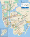
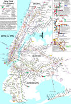
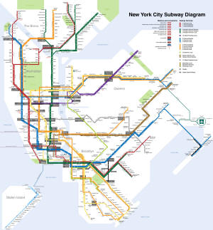
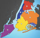
Five Boroughs of New York City Map
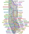
Manhattan Borough Neighborhoods Map
Maps of Popular Tourist Attractions in New York City
Grand Central Terminal (Grand Central Station)
Metropolitan Museum of Art
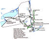
New York State National Parks Map
New York City and Town Maps
A
B
C
D
E
F
G
H
I
J
K
L
M
N
O
P
Q
R
S
T
U
V
W
Y
Z
New York Maps — Interactive Map, Street View, Weather & News
This page provides an interactive Google map of New York (NY) with Street View, satellite and terrain views, alongside links to detailed street maps for 1,981 cities and towns across the state. The state capital is Albany and the largest city is New York City, with a state population of approximately 20,201,249.
Each city and town map page includes an embedded street and satellite map. Live weather where available combines National Weather Service forecasts with Open-Meteo graphical data including hourly and 7-day outlooks. Local and world news, Wikipedia location summaries, and precise GPS coordinates are included where available.
Location data is sourced from the USGS GNIS database and verified by coordinates, not name matching alone.
